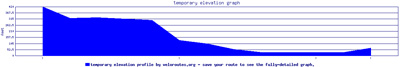
Topography and geography always comes up as a justification for Seattle's slow move to having a true bike culture. It's not Portland or better, it's not Copenhagen, we have steep climbs that sometimes extend for blocks. It makes a casual, easy ride seem impossible; never mind the idea of riding into work in a skirt and heels.
First, having a lighter bike with 5+ gears is a great start. I also found that having a basket or panniers takes the weight off of your back, making the ride easier.
Second, know your route and avoid huge climbs. The City of Seattle has a list of the
highest elevations here. Some of the rides I've found to be the easiest to get from point a to point b are below.
- The Burke Gilman will get you back and forth from Ballard, Fremont, Gas Works, and University District.
- The Cheshiahud Lake Union Loop will be you between Eastlake, South Lake Union and Fremont.
- Stone Way is a slow and steady climb to get from Gas Works to Wallingford.
- Getting from Downtown to Capitol Hill is easiest via Pine or Pike.
- Getting from Fremont to Downtown is easiest via Westlake or Dexter.
Finally, know the bus schedule. Now that the weather is colder and I'm not using my bike home as a workout - I've started to the 8 to get up Denny from the gym. If you become familiar with times and routes, it's makes those hills pretty easy.
Check here to see how to load your bike.
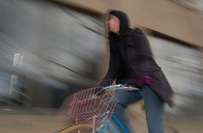
image via
ninjatira.